 Nichora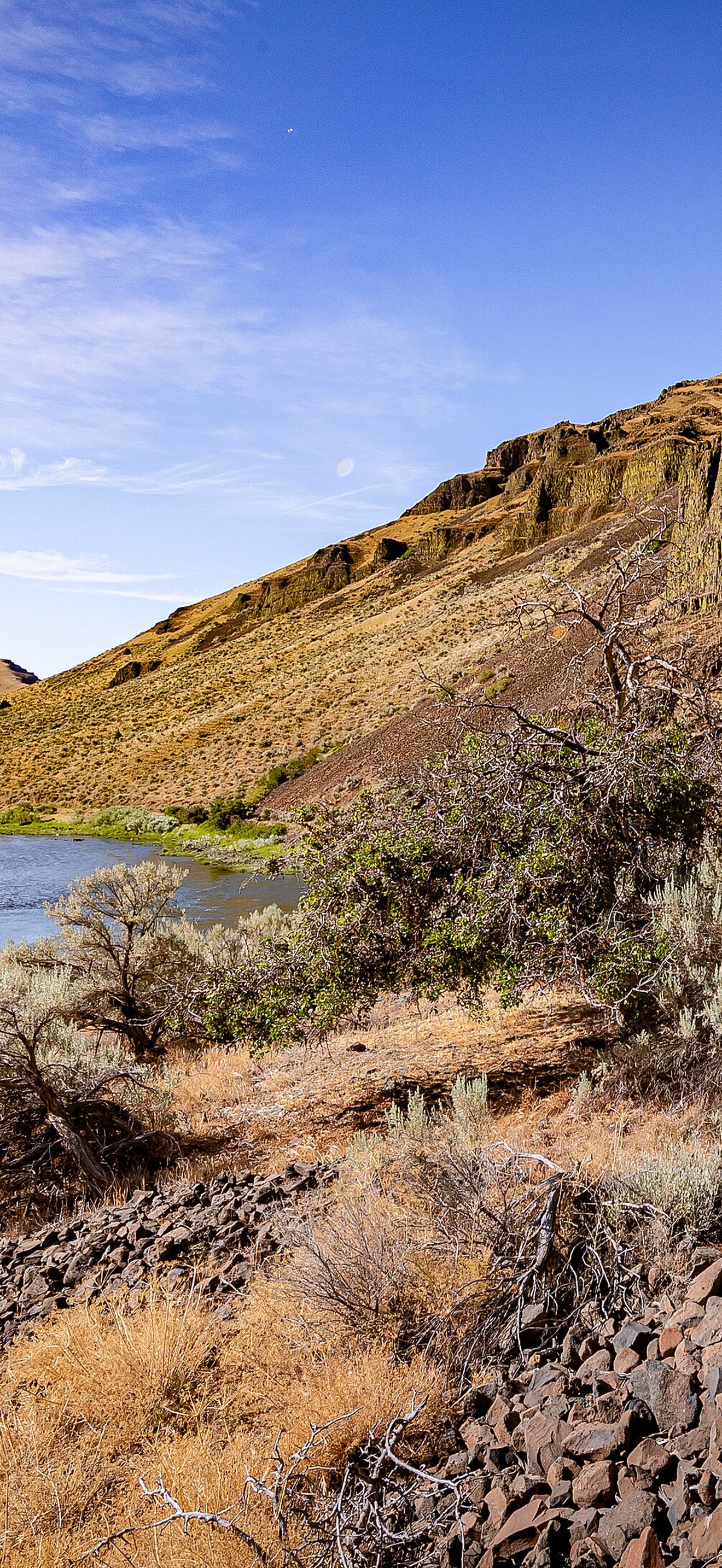
Lower John Day Wilderness Study Area
Bureau of Land Management
The hills of the northern boundary of the Lower John Day WSA rise above the Wild and Scenic John Day River at Big Eddy, June 19, 2021 by Greg Shine, BLM. For more information on this BLM Wilderness Study Area, visit www.blm.gov/programs/national-conservation-lands/oregon-w... .
- Credit
- Bureau of Land Management
- Licence
- Public domain
- Original
- View at the source
Coming soon to the App Store
Nichora saves it at full iPhone resolution, cropped so the clock never covers the subject.
 Ducks at Cosumnes River PreserveBureau of Land Management
 Blue HeronBureau of Land Management
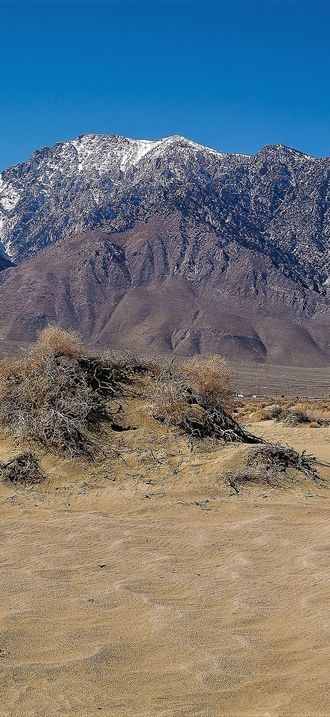 Olancha Peak and DunesBureau of Land Management
 Zachary Ormsby CCNM CCFOBureau of Land Management
 Snowy EgretBureau of Land Management
 California DesertBureau of Land Management
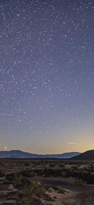 Amboy Crater Below the Night SkyBureau of Land Management
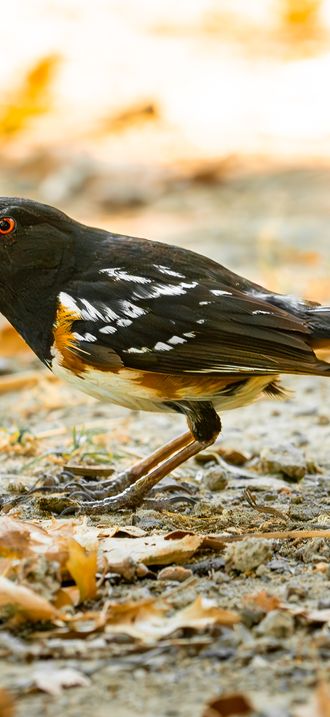 Spotted Towhee at Cosumnes River PreserveBureau of Land Management
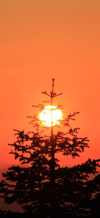 Sunset Tree MountainsBureau of Land Management
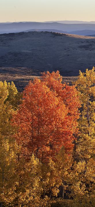 Wall Canyon Wilderness Study AreaBureau of Land Management
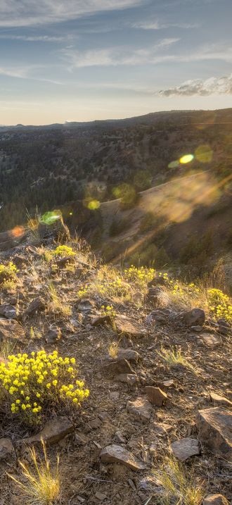 Sunset at the North Fork Crooked Wild and Scenic RiverBureau of Land Management
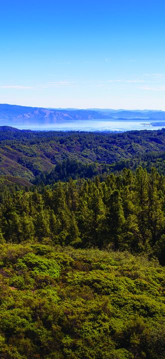 View over Cow MountainThomas Delgado
.jpg)