 Nichora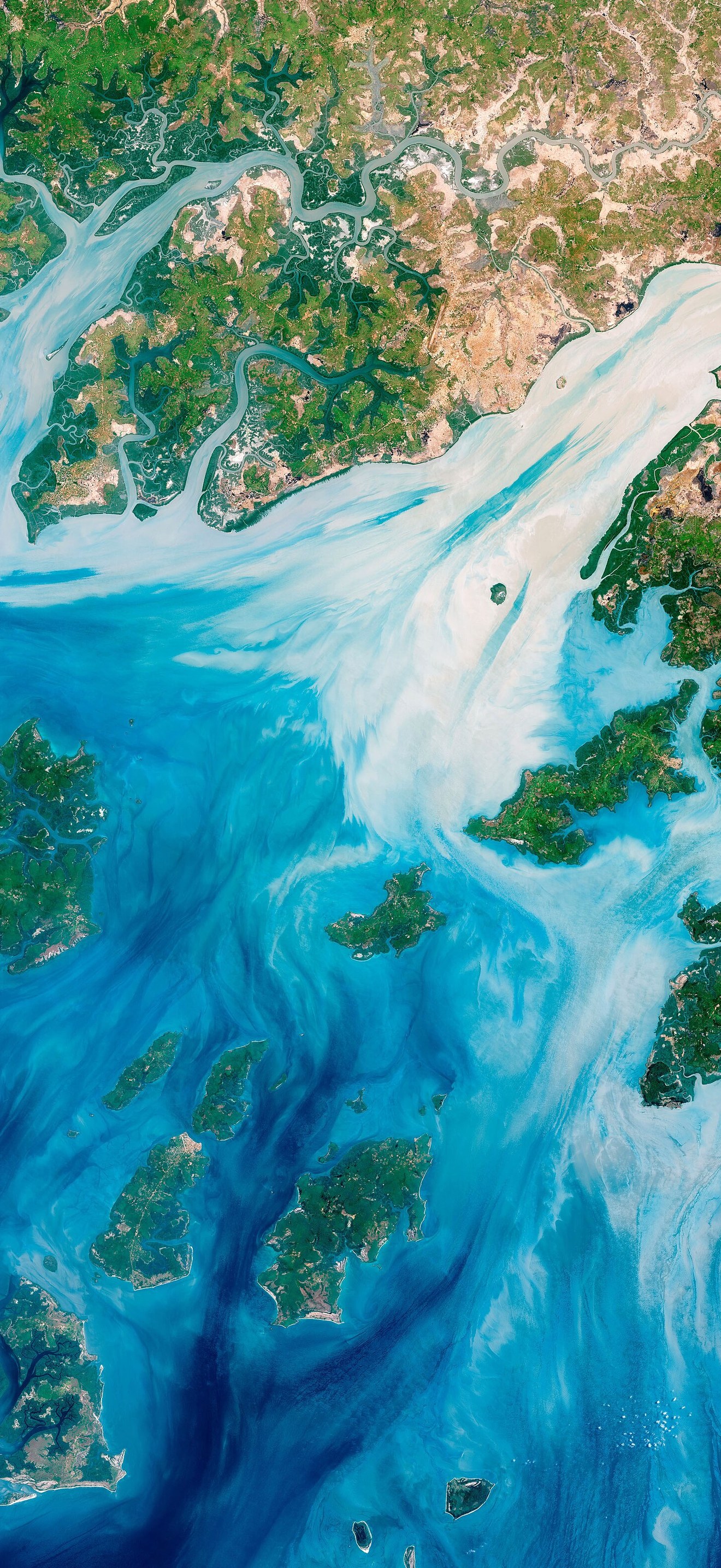
Guineabissau oli 2018137 lrg
Joshua Stevens, NASA
Estuaries near the coast of Guinea–Bissau branch out like a network of roots from a plant. With their long tendrils, the rivers meander through the country’s lowland plains to join the Atlantic Ocean. On the way, they carry water, nutrients, but also sediments out from the land.
- Credit
- NASA / USGS Landsat
- Licence
- Public domain
- Original
- View at the source
Coming soon to the App Store
Nichora saves it at full iPhone resolution, cropped so the clock never covers the subject.
 Landsat GlacierBay 01aug99NASA / USGS Landsat
 Rio de la Plata BA 2NASA / USGS Landsat
 Adirondacks-NewYork (Landsat 9, 2022-10-08)NASA
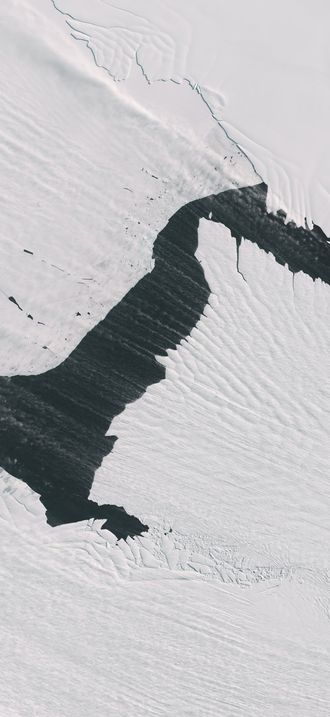 Streaming Snow and “Sea Smoke” (153509 - oli 20241010 lrg)Wanmei Liang, NASA
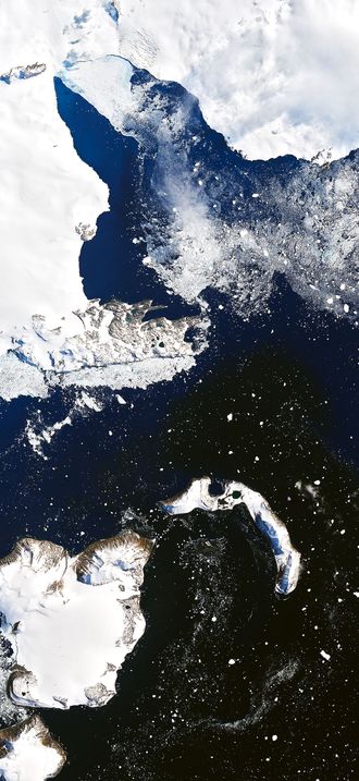 Eagleisland oli 2020035 lrgJoshua Stevens, NASA
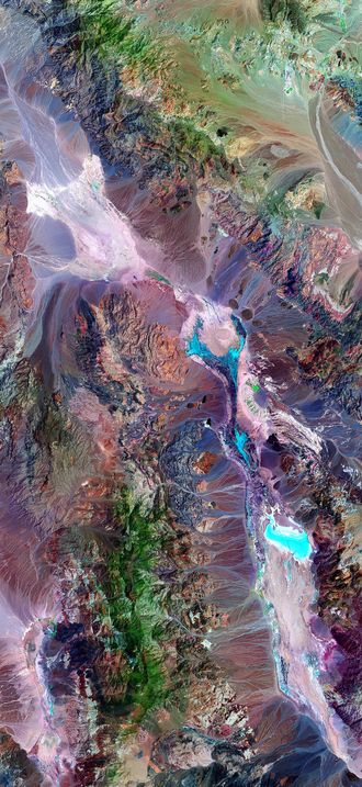 Death valley vegetation aerial viewLandsat 7 satellite
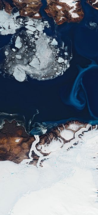 Devon oli 2020204 lrgJoshua Stevens, NASA
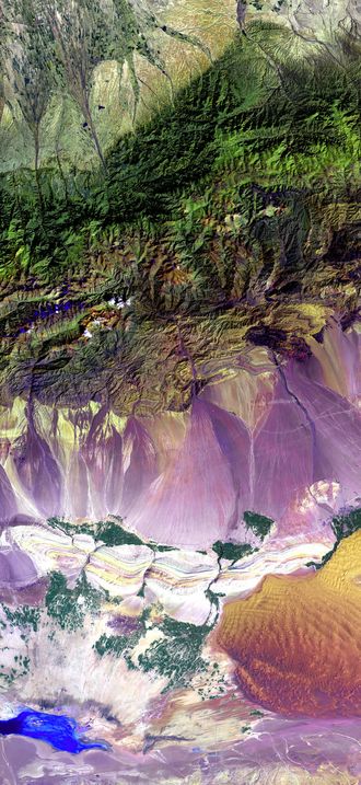 Turpan Depression, nestled at the foot of China’s Bogda MountainsNASA/USGS (Landsat 7)
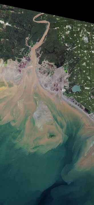 Seepweed tm5 1986261 lrgLauren Dauphin, NASA
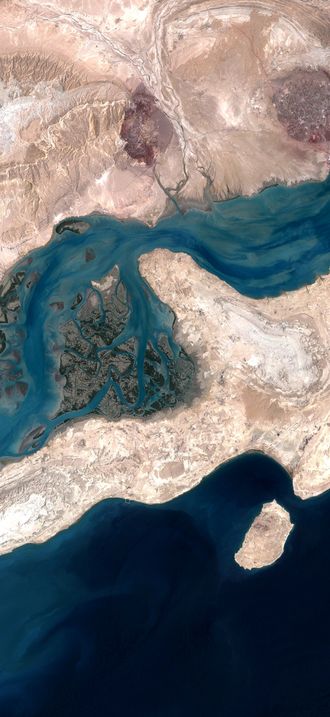 QeshmIsland NASANASA / USGS Landsat
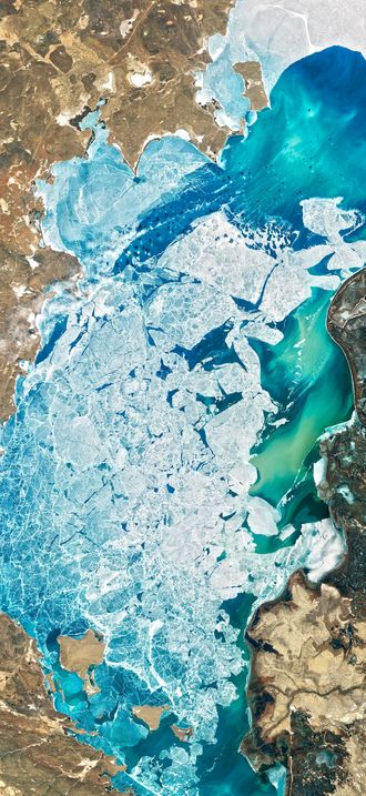 A Delta Oasis in Southeastern KazakhstanJoshua Stevens, NASA
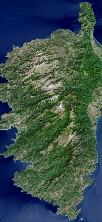 The Mountainous Spine of CorsicaJesse Allen, NASA
