 Nichora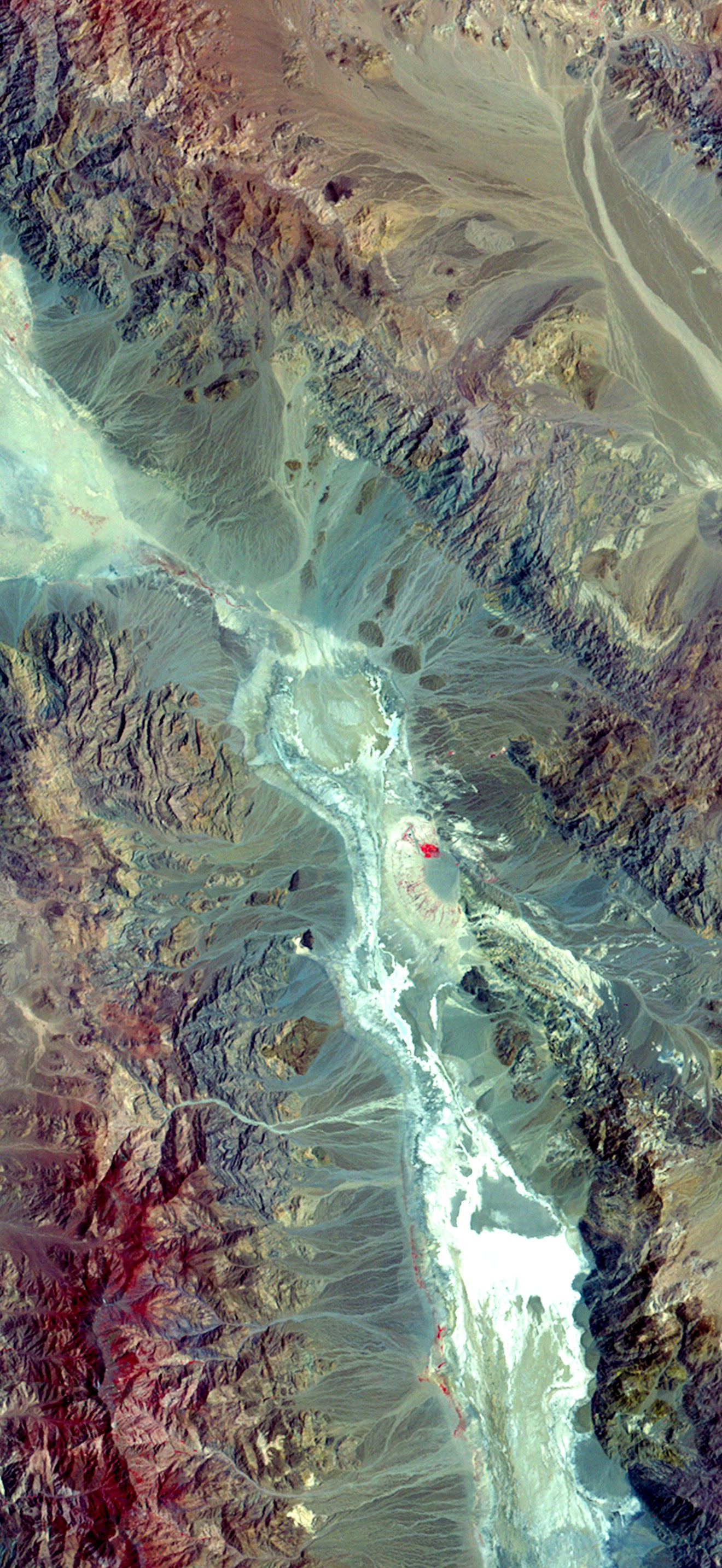
Death Valley Through Landsat’s First Lens (Landsat 1, )
USGS
Landsat 1 captured this false-color image of Death Valley on May 27, 1976. At the center lies Furnace Creek, a key landmark in one of the hottest and driest places on Earth. The bright whites in the valley floor represent salt flats, while red tones indicate sparse desert vegetation.
- Credit
- NASA / USGS Landsat
- Licence
- Public domain
- Original
- View at the source
Coming soon to the App Store
Nichora saves it at full iPhone resolution, cropped so the clock never covers the subject.
 Guineabissau oli 2018137 lrgJoshua Stevens, NASA
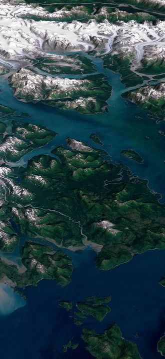 Landsat GlacierBay 01aug99NASA / USGS Landsat
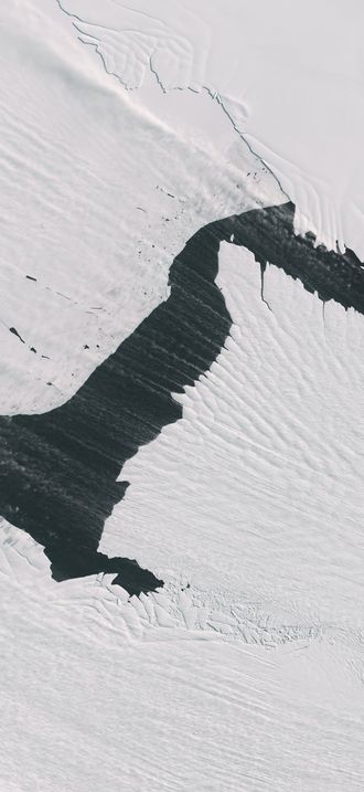 Streaming Snow and “Sea Smoke” (153509 - oli lrg)Wanmei Liang, NASA
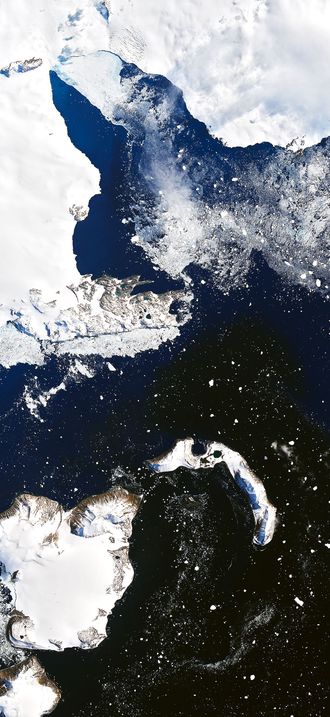 Eagleisland oli 2020035 lrgJoshua Stevens, NASA
 Devon oli 2020204 lrgJoshua Stevens, NASA
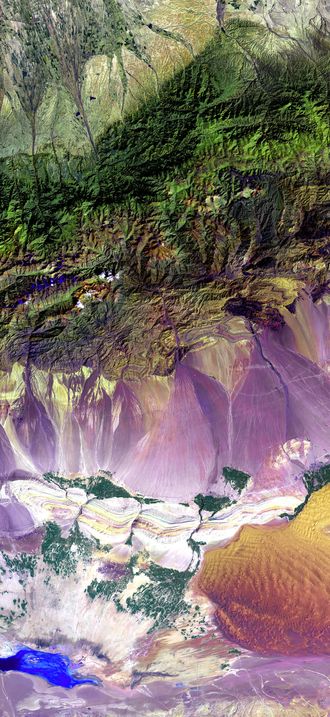 Turpan Depression, nestled at the foot of China’s Bogda MountainsNASA/USGS (Landsat 7)
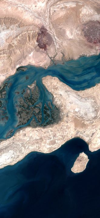 QeshmIsland NASANASA / USGS Landsat
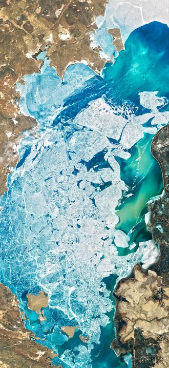 A Delta Oasis in Southeastern KazakhstanJoshua Stevens, NASA
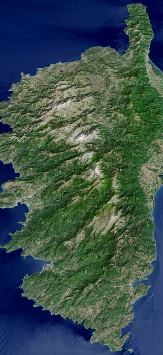 The Mountainous Spine of CorsicaJesse Allen, NASA
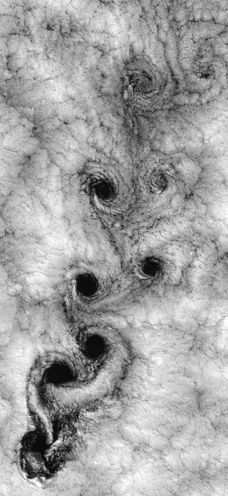 Vortex-street-1Robert Cahalan , NASA/GSFC
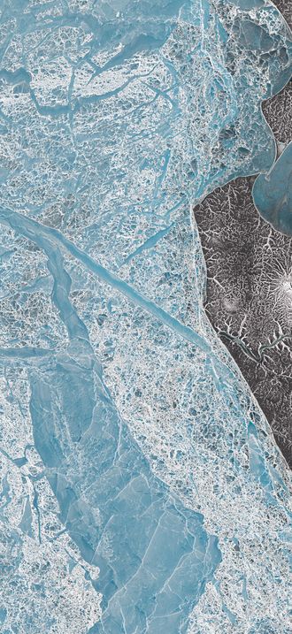 Icescapes of the Anzhu IslandsLauren Dauphin, NASA
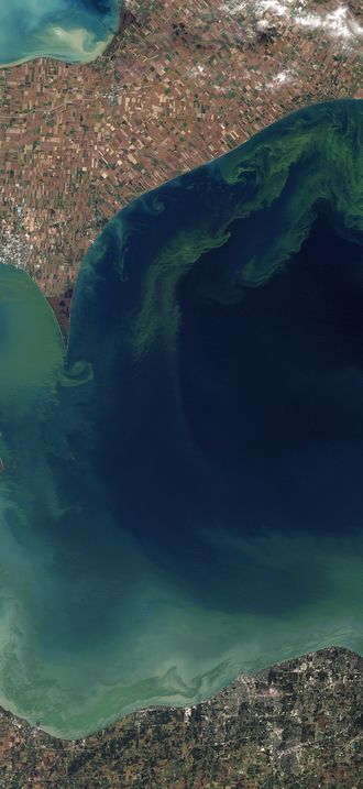 Toxic Algae Bloom in Lake ErieJesse Allen and Robert Simmon
.png)